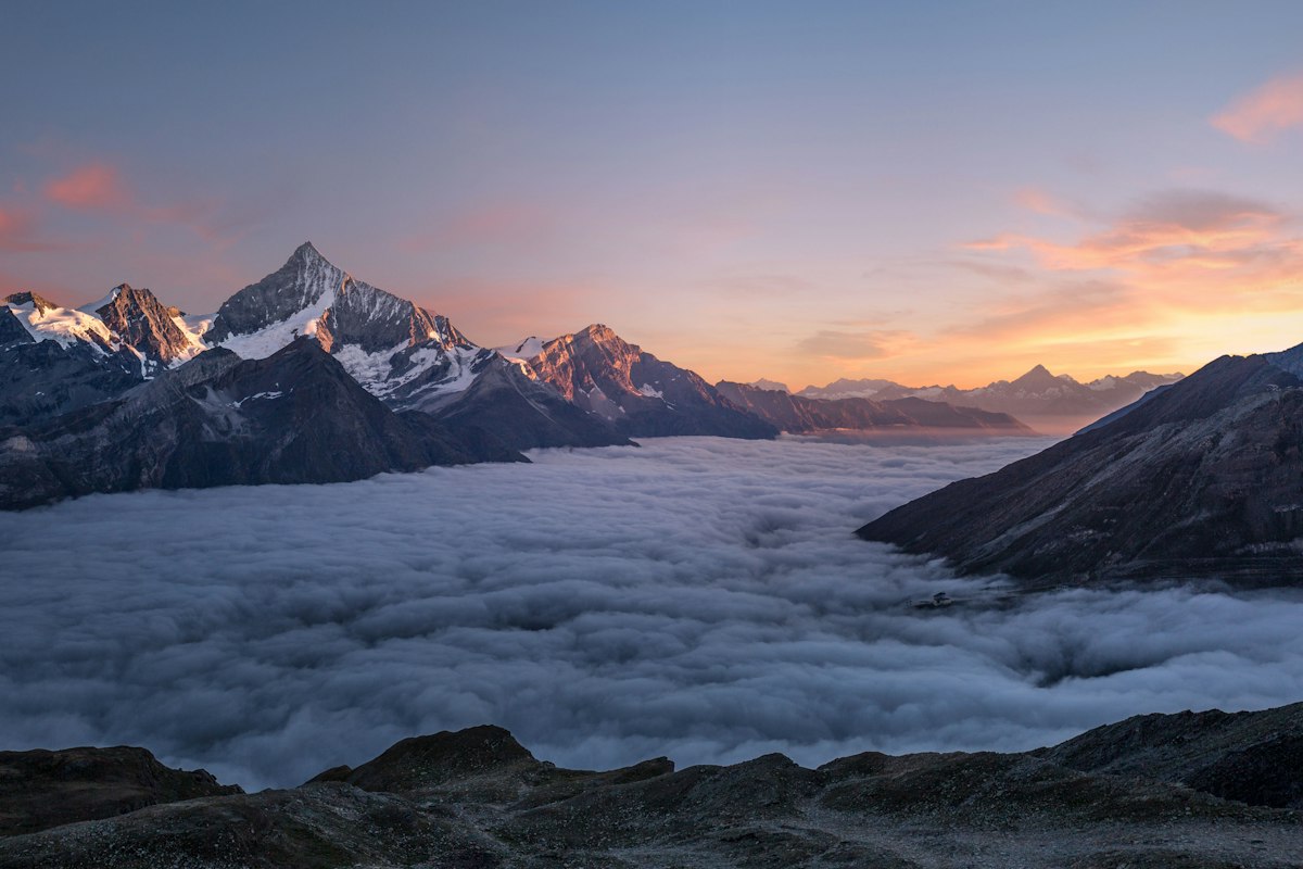
Northern California
San Francisco → Lake Tahoe
195 miles · 3.5 hrs · 4 stops
Distance
195 miles
Drive time
3.5 hrs
Stops
4 stops
Region
Northern California
Head east from San Francisco and the terrain transforms completely — Bay flatlands give way to Gold Rush foothills, then to the pine forests and granite peaks of the Sierra Nevada, and finally to the impossibly blue expanse of Lake Tahoe. It's a drive through the full depth of California geography in under 4 hours.
Gold Country: Auburn and Placerville
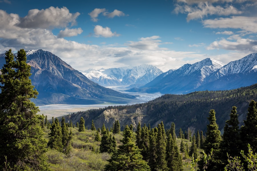
The Sierra Nevada foothills were the site of the 1849 Gold Rush, and the towns of Auburn and Placerville still carry that history. Auburn's Old Town sits at the confluence of several American River canyons — a dramatic setting that also makes it a hub for world-class whitewater rafting in spring.
Old Town Auburn is worth a stop for coffee and a walk — it's the self-proclaimed endurance capital of the world and has a great local energy.
Did you know?
Lake Tahoe is the largest alpine lake in North America and the second deepest in the US. Its water is so clear you can see objects at 70 feet depth. The lake sits at 6,225 feet elevation — which is why it stays cool even in summer and receives heavy snowfall in winter.
Emerald Bay: Tahoe's Crown Jewel
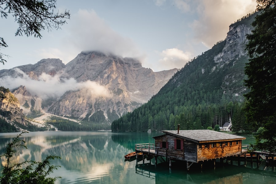
Emerald Bay is a small glacially carved inlet on Tahoe's southwest shore — its vivid turquoise water and Vikingsholm castle make it the most photographed spot at the lake. The overlook from Highway 89 requires no hiking; the full hike down to the shore is 1.5 miles round-trip and worth every step.
The Emerald Bay overlook on Highway 89 is free and takes 5 minutes. It may be the best view in California. Don't drive through without stopping.
Route Summary
Full journey at a glance
🚗 San Francisco
Auburn
Old Town, Gold Rush history, American River canyon views
⏲ 45 min
Placerville
Hangtown history, apple orchards, Gold Rush main street
⏲ 30 min
South Lake Tahoe
Beach access, food, boat rentals on the lake
⏲ 1.5 hrs
Emerald Bay
The unmissable overlook — Vikingsholm hike if time allows
⏲ 45 min
🏁 Lake Tahoe
Ready to drive this route?